About Me
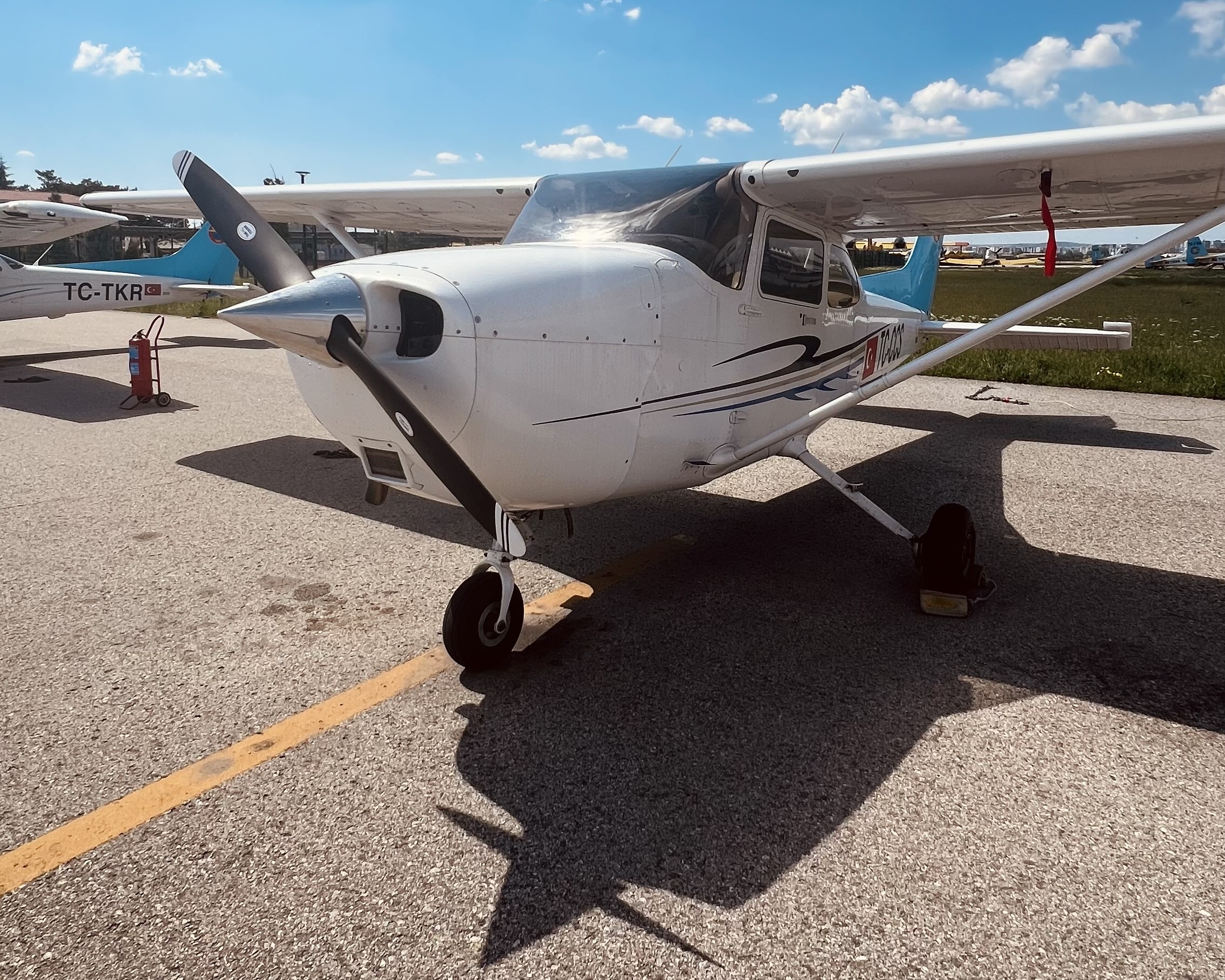
I am Mustafa Selim Issı, a senior student at the Department of Geomatics Engineering, Hacettepe University. Alongside my university education, I have been receiving pilot training at the Turkish Aeronautical Association Flight Academy for two years.
During my pilot training, I obtained my Private Pilot License (PPL) and I am currently continuing my theoretical and flight training toward a Commercial Pilot License (CPL). This path helped me connect aviation-side GNSS, radar and satellite-based navigation with geomatics concepts such as coordinate systems, UAV photogrammetry and Geographic Information Systems (GIS). Topics common to both domains — the Earth’s shape, orbit and tilt covered in Geodesy and Orbital Mechanics — further deepened my interest in each field.
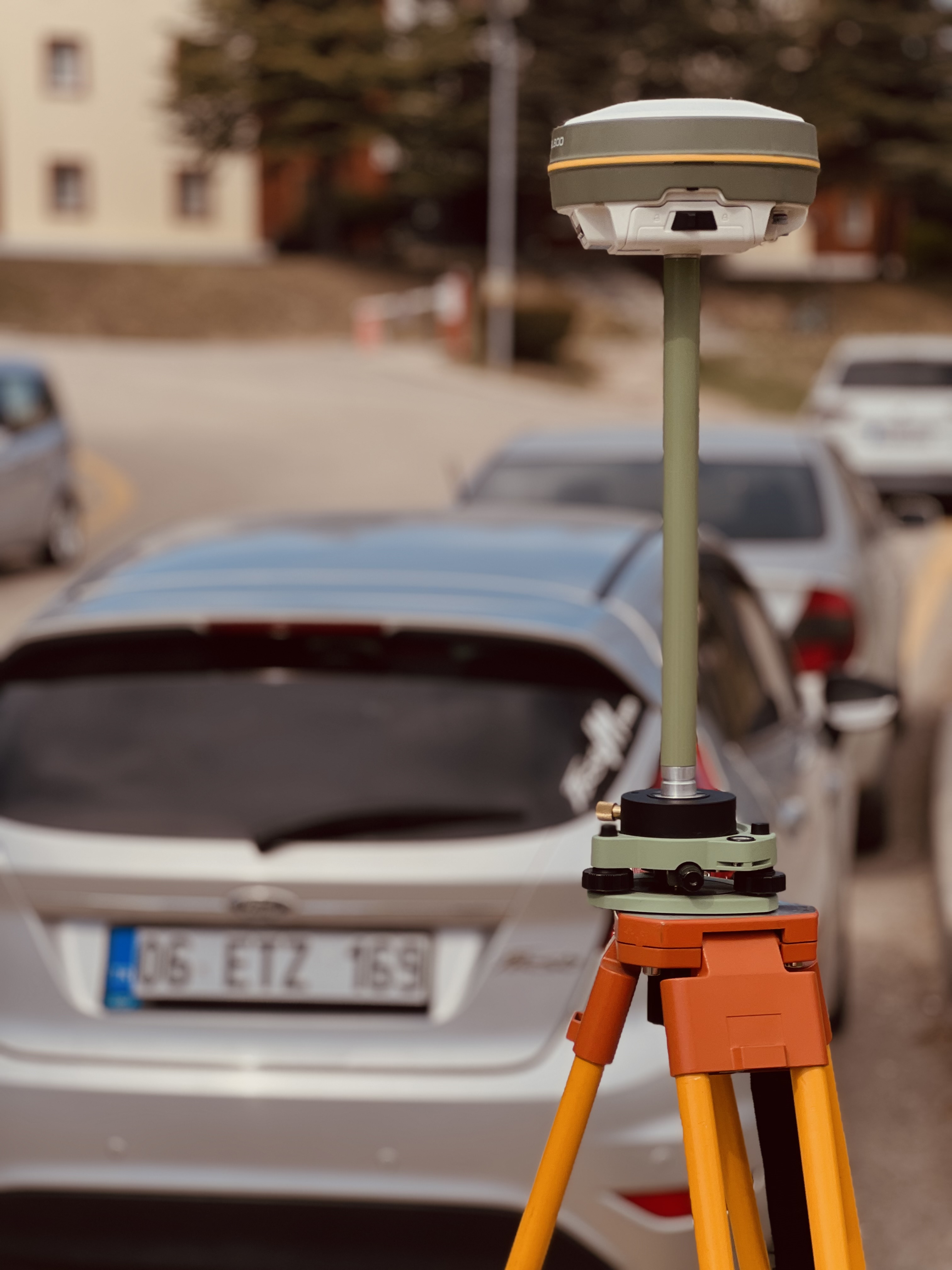
I’m particularly interested in photogrammetry, remote sensing and GIS. During my internship at Uydu Mühendislik, I followed the workflows of aerial image processing, adjustment and cadastral updating closely. Work on the Burdur 4th Group and Mersin 5th Group 22A projects gave me valuable hands-on experience in professional surveying and mapping.